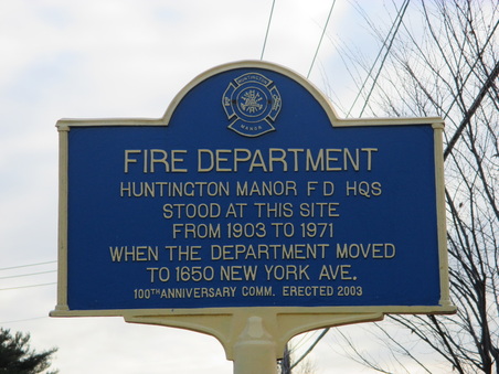
"FIRE DEPARTMENT" Huntington Manor F D HQS Stood at this Site From 1903 to 1971 When the Department Moved to 1650 New York Ave.
100th Anniversary Comm. Erected 2003.
LOCATION: Southwest corner of New York Ave, 150 Feet South of Church Street.
|
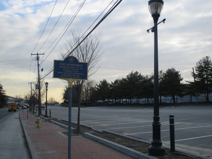
Site of Fire Department.
|
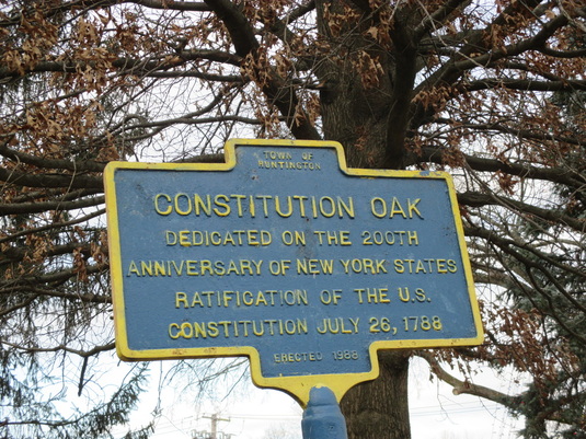
"CONSTITUTION OAK" Dedicated on the 200th Anniversary of New York States Ratification of the U.S. Constitution July 26, 1788.
Erected 1988
LOCATION: 25A ( Main Street) intersection of Park Ave.
|
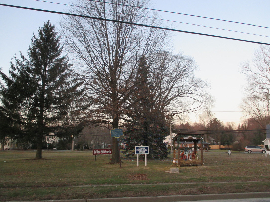
The Constitution Oak.
|
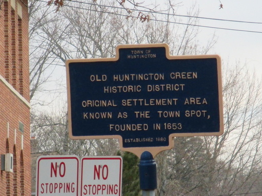
" OLD HUNTINGTON GREEN HISTORIC DISTRICT" Original Settlement Area Known as the Town Spot, Founded in 1653.
Established 1980.
LOCATION: Corner of Main Street and Irwin Place.
|
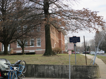
The Old Huntington Green.
|
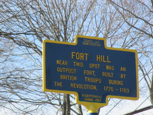
"FORT HILL" Near this Spot was an Outpost Fort, Built by British Troops During the Revolution, 1776-1783.
Bicentennial Comm. 1977.
LOCATION: Maple Hill Road & Route 25A
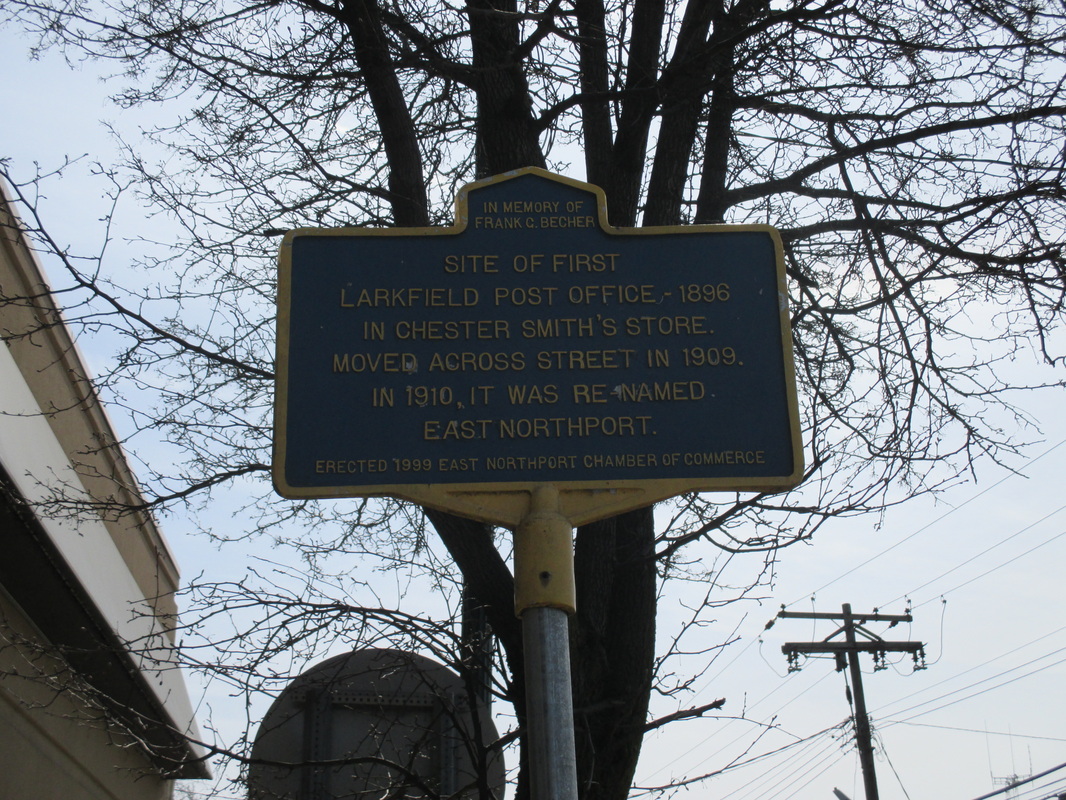
" SITE OF FIRST LARKFIELD POST OFFICE-1896" In Chester Smith's Store Moved Across Street in 1909. In 1910 it was Renamed East Northport.
Erected 1999 by East Northport Chamber of Commerce.
LOCATION: Larkfield Road and Intersection on 10th Ave on N. Side.
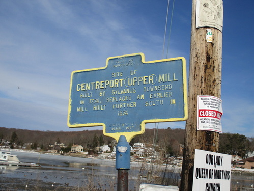
"CENTERPORT (UPPER) MILL" Built by Sylvanus Townsend in 1774, Replaced an Earlier Mill further South in 1674.
Bicentennial Comm. 1977.
LOCATION: Corner of Mill Dam Road and Centershore Road.
|
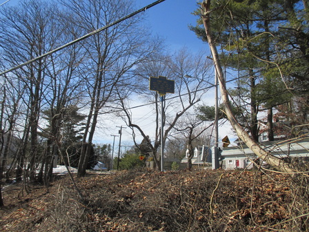
Site of Fort Hill.
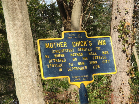
MOTHER CHICK'S INN (Chichester) Reputed to be where Nathan Hale was Betrayed on his Fateful Venture to New York City in September 1776.
Bicentennial Comm. 1977.
LOCATION: 124 Bay Road, Huntington
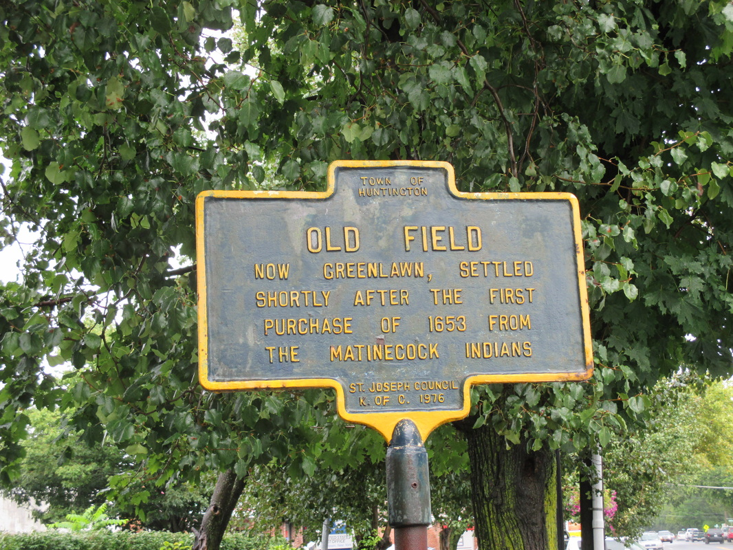
"OLD FIELD" Now Greenlawn, Settled Shortly after the First Purchase of 1653 from the Matinecock Indians.
St. Joseph Council K of C. 1976.
LOCATION: Broadway at Intersection of Smiths Street; in front of Greenlawn Post Office, Greenlawn.
|
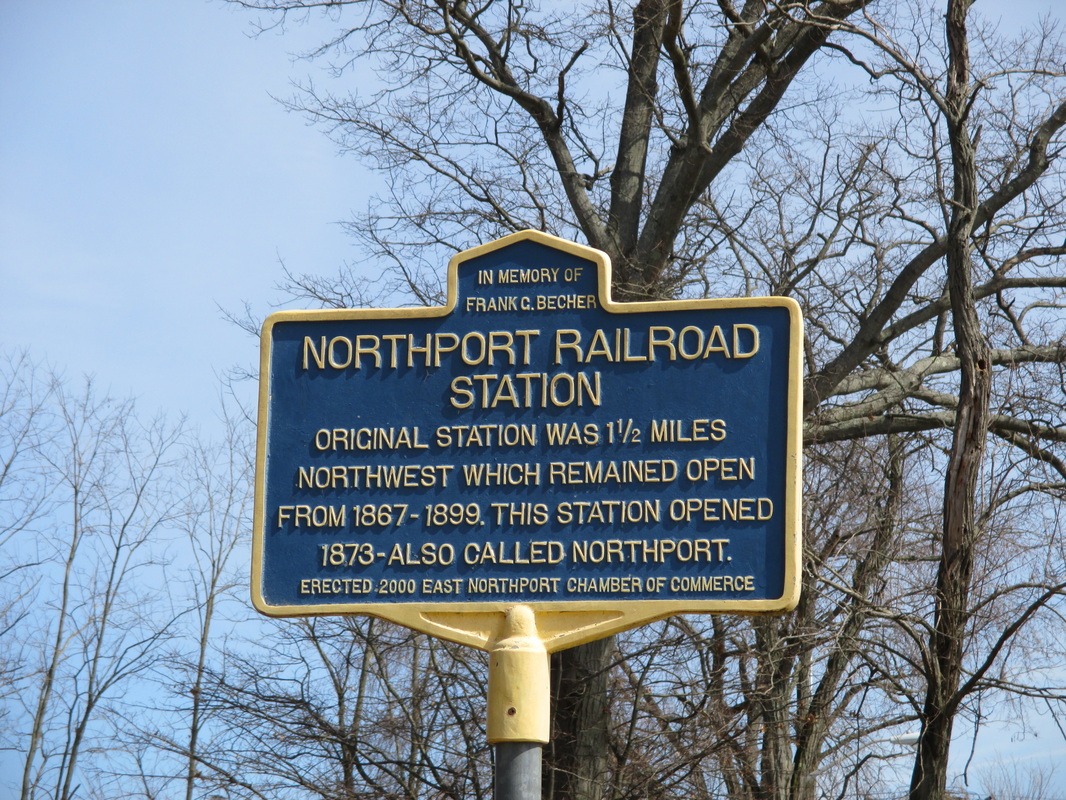
"NORTHPORT RAILROAD STATION" Original Station was 1 1/2 miles Northwest which Remained Open from 1867-1899. This Station Opened 1873-Also Called Northport.
Erected 2000 East Northport Chamber of Commerce.
LOCATION: Northport Railroad Station, East Northport.
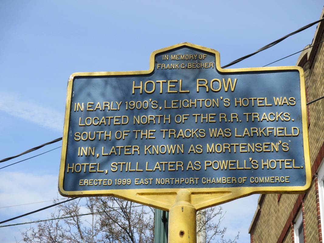
"HOTEL ROW" In Early 1900's, Leighton's Hotel was Located North of the R.R. Tracks. South of the Tracks was Larkfield Inn, Later Known as Mortensen's Hotel, Still Later as Powell's Hotel.
Erected 1999 East Northport Chamber of Commerce.
LOCATION: By 16 Larkfield Road across from Side of Trainstation, East Northport.
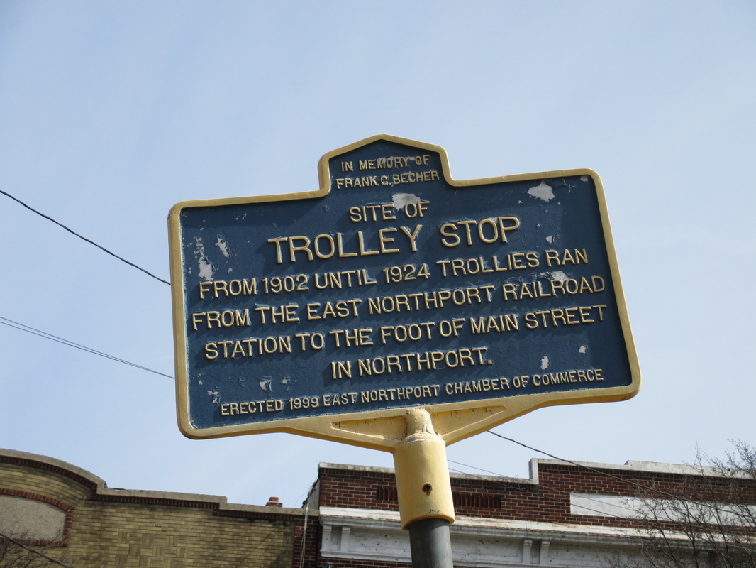
"SITE OF TROLLEY STOP" From 1902 until 1924 Trollies Ran From the East Northport Railroad Station to the Foot of Main Street in Northport.
Erected 1999 East Northport Chamber of Commerce.
LOCATION: North of Larkfield Field by Side of Train Station across from Hotel Row. (16 Larkfield Road), East Northport.
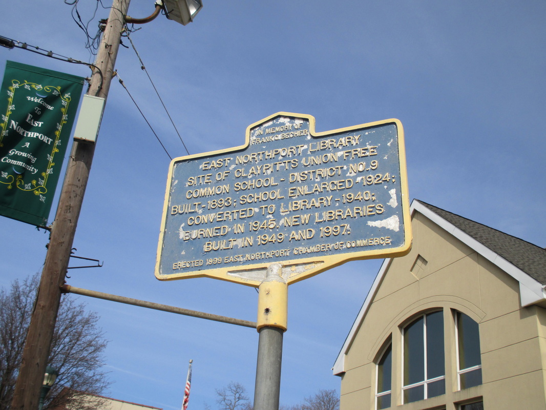
"EAST NORTHPORT LIBRARY" Site of Claypitts Union Free Common School-District No. 9 Built-1893; School enlarged-1924; Converted to Library-1940; Burned in 1945. New Libraries built in 1949 and 1997.
Erected 1999 East Northport Chamber of Commerce.
LOCATION: Larkfield Road in Front of E.N. Library, East Northport.
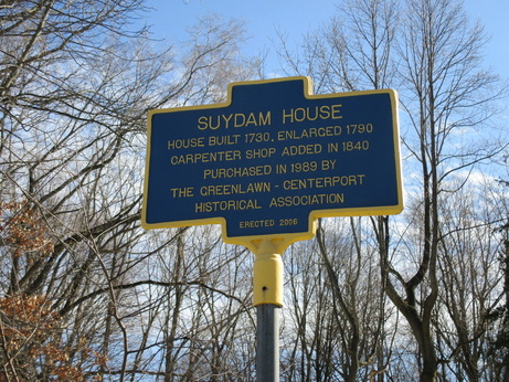
"SUYDAM HOUSE" House Built 1730, Enlarged 1790, Carpenter Shop Added in 1840, Purchased in 1989 by the Greenlawn-Centerport Historical Association.
Erected 2006.
LOCATION: 1 Fort Salonga Road, Centerport; Intersection of Centerport Road and Fort Salonga Road; Route 25A.
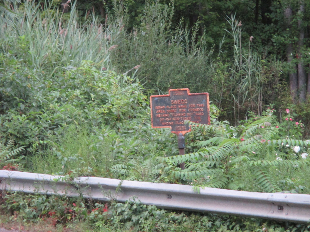
"SWEGO" Indian Place Named for this Area. Short for Otswego Meaning " Flowing Out". Also OP- CAT-KON-TYCKE " The Waiting Place Creek."
Historian's Office 1986.
LOCATION: Northside of Route 25A, 1000 Feet west of Stoney Hollow Road, Centerport.
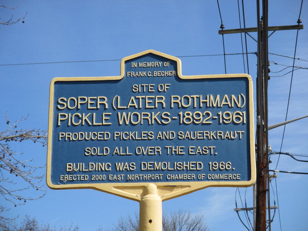
"SOPER (LATER ROTHMAN) PICKLE WORKS- 1892-1961" Produced Pickles and Sauerkraut Sold all over the East. Building was Demolished 1966.
Erected 2000 East Northport Chamber of Commerce.
LOCATION: ( East Side) Northport in Front of Train Station, 10th Street South of LIRR lot, East Northport.
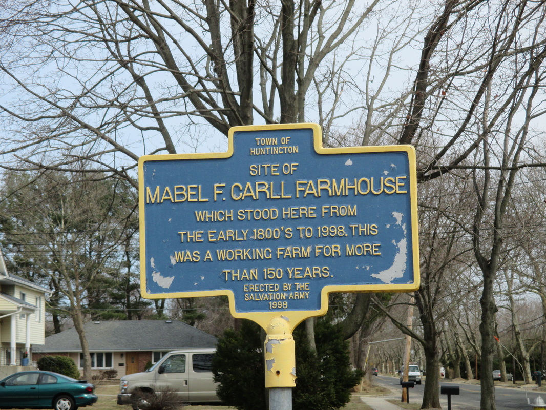
" SITE OF MABEL F. CARLL FARMHOUSE" Which Stood here from Early 1800s to 1998. This was a Working Farm for more than 150 Years.
Erected by the Salvation Army 1998.
LOCATION: Clay Pitts Road, 1/4 mile East of Larkfield Road, East Northport.
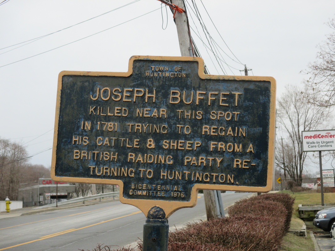
" JOSEPH BUFFET" Killed neared this spot Trying to Regain his Cattle and Sheep from a British Raiding Party Returning to Huntington.
Bicentennial Committee 1976.
LOCATION: 399 Route 25A, Northport.
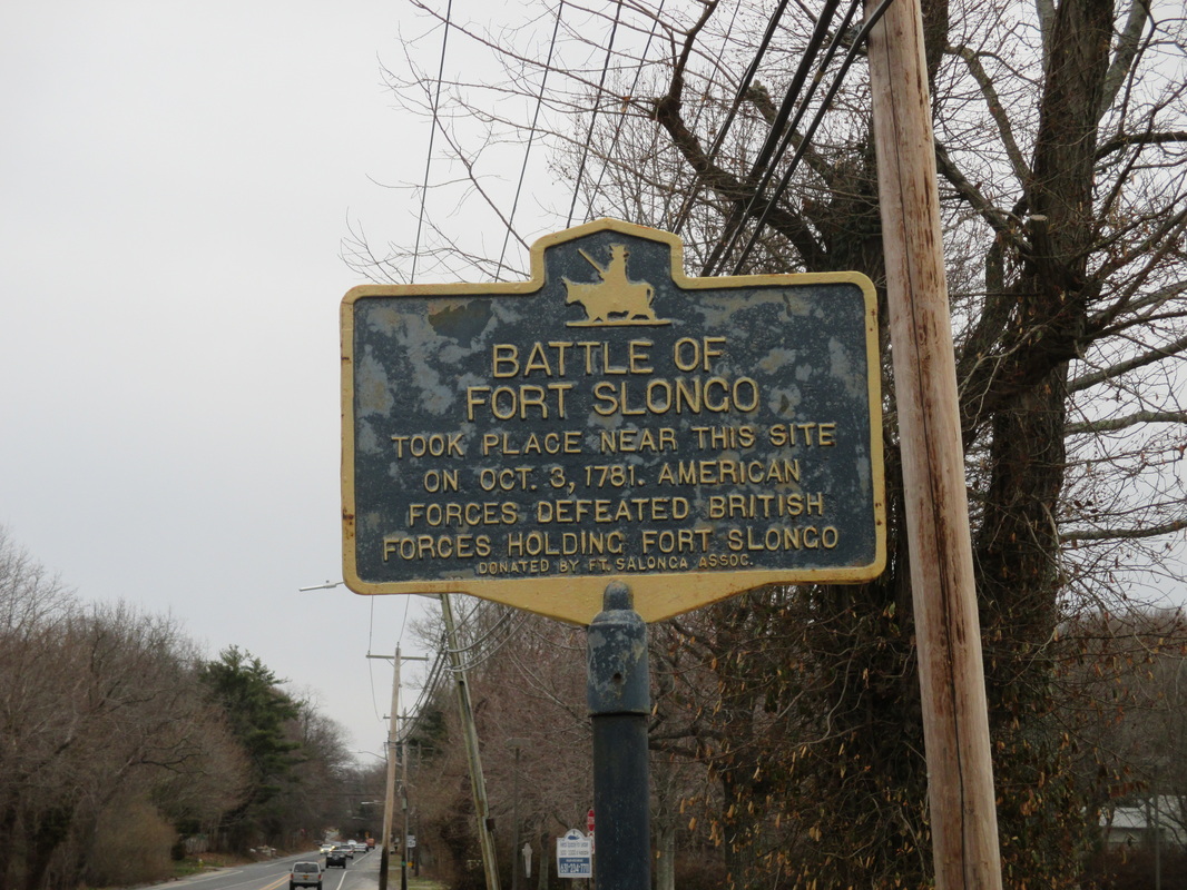
"BATTLE OF FORT SLONGO" Took Place near this Site on October 3rd, 1781. American Forces Defeated British Forces Holding Fort Slongo.
Donated by Fort Slongo Assoc.
LOCATION: Route 25A, (Fort Salonga Road) East of Bread and Cheese Hollow Road, Northport.
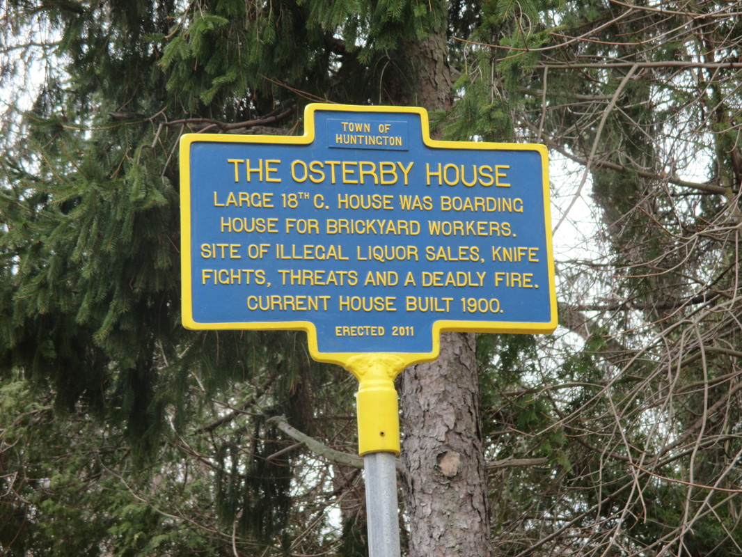
"THE OSTERBY HOUSE" Large 18th C. House was Boarding House for Brickyard Workers, Site of Illegal Liquor Sales, Knife Fights, Threats and a Deadly Fire. Current House Built 1900.
Erected 2011.
LOCATION: 1059 Route 25A, (Fort Salonga Road) Northport; East of Bread and Cheese Hollow Road.
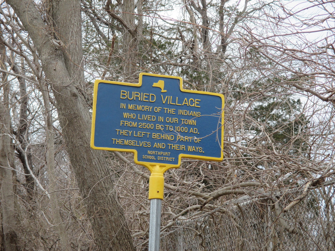
"BURIED VILLAGE" In Memory of the Indians who lived in our Town from 2500 BC to 1000 A. They Left Behind Part of Themselves and Their Ways.
Northport School District.
LOCATION: 399 Ocean Ave, Northport.
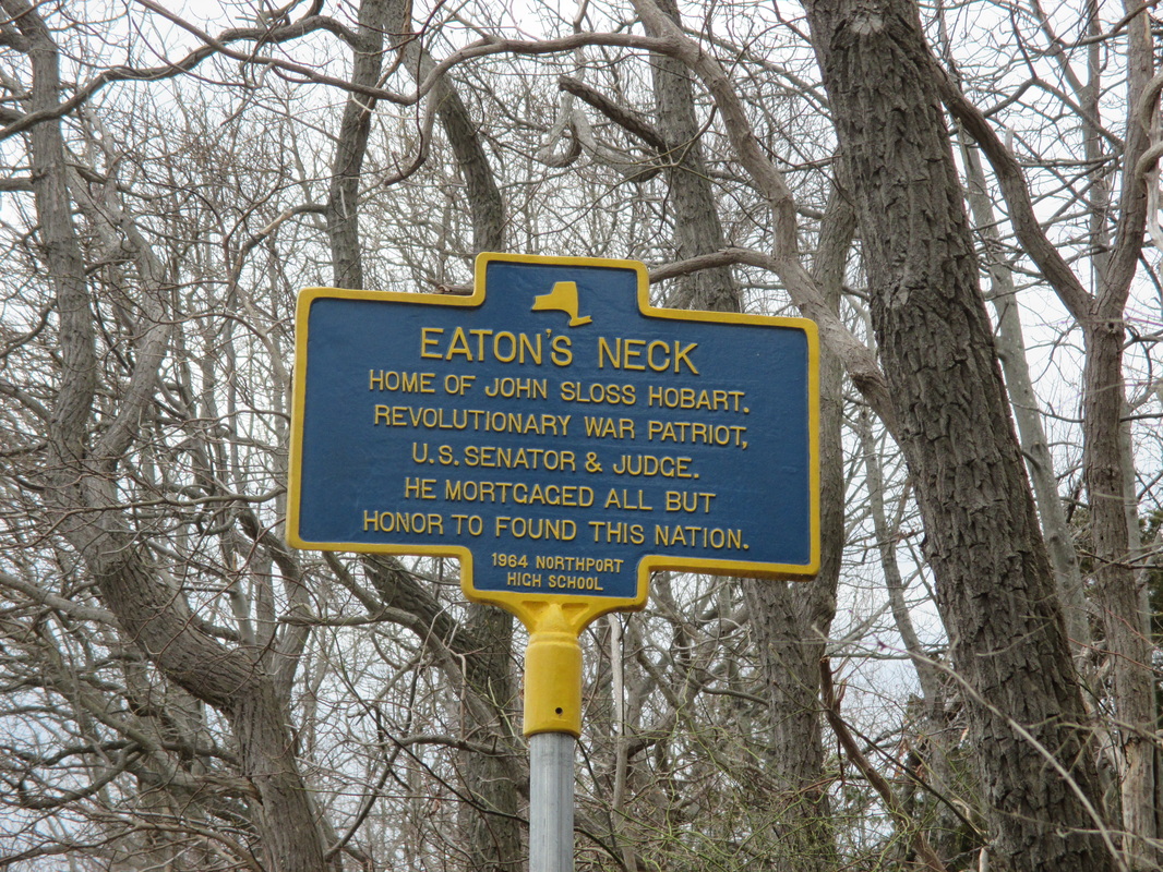
"EATON'S NECK" Home of John Sloss Hobart. Revolutionary War Patriot, U.S. Senator & Judge. He Mortgaged all but Honor to Found This Nation.
1964 Northport High School.
LOCATION: Eaton's Neck Road, West of Ocean Ave, Northport.
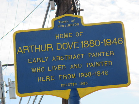
"HOME OF ARTHUR DOVE 1880-1946" Early Abstract Painter who Lived and Painted Here From 1938-1946.
Erected 1985.
LOCATION: 30 Centershore Road; 1/4 of a mile north of East Main Street, Route 25A
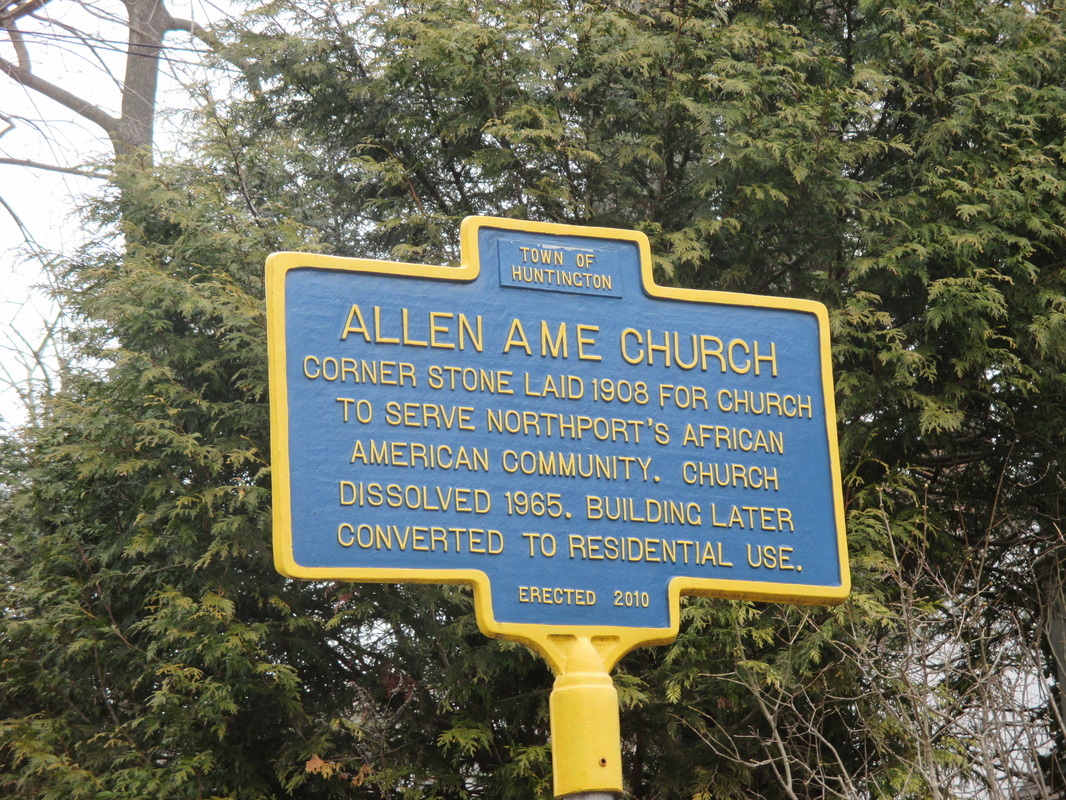
"ALLEN AME CHURCH" Corner Stone Laid 1908 For Church To Serve Northport's African American Community. Church Dissolved 1965. Building Later Converted to Residential Use.
Erected 2010.
LOCATION: 54 Church Street, Northport.
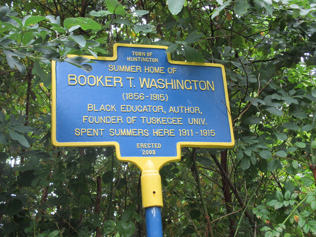
"SUMMER HOME OF BOOKER T. WASHINGTON" (1856-1915) Black Educator, Author, Founder of Tuskegee Univ. Spent Summers here 1911-1915.
Erected 2003.
LOCATION: 30 Cousins Drive, Fort Salonga.
|
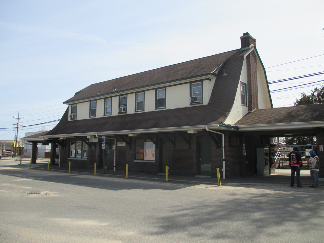
Northport Railroad Station.
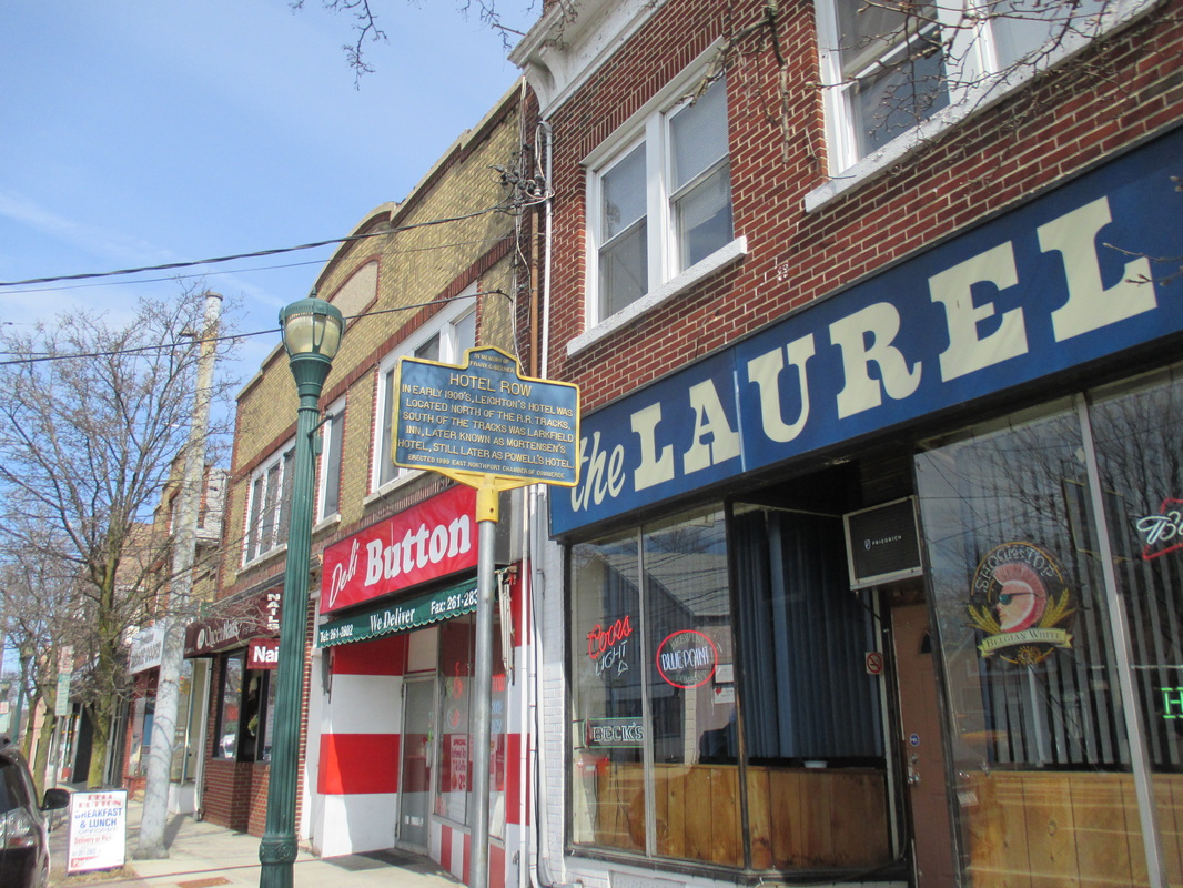
Hotel Row
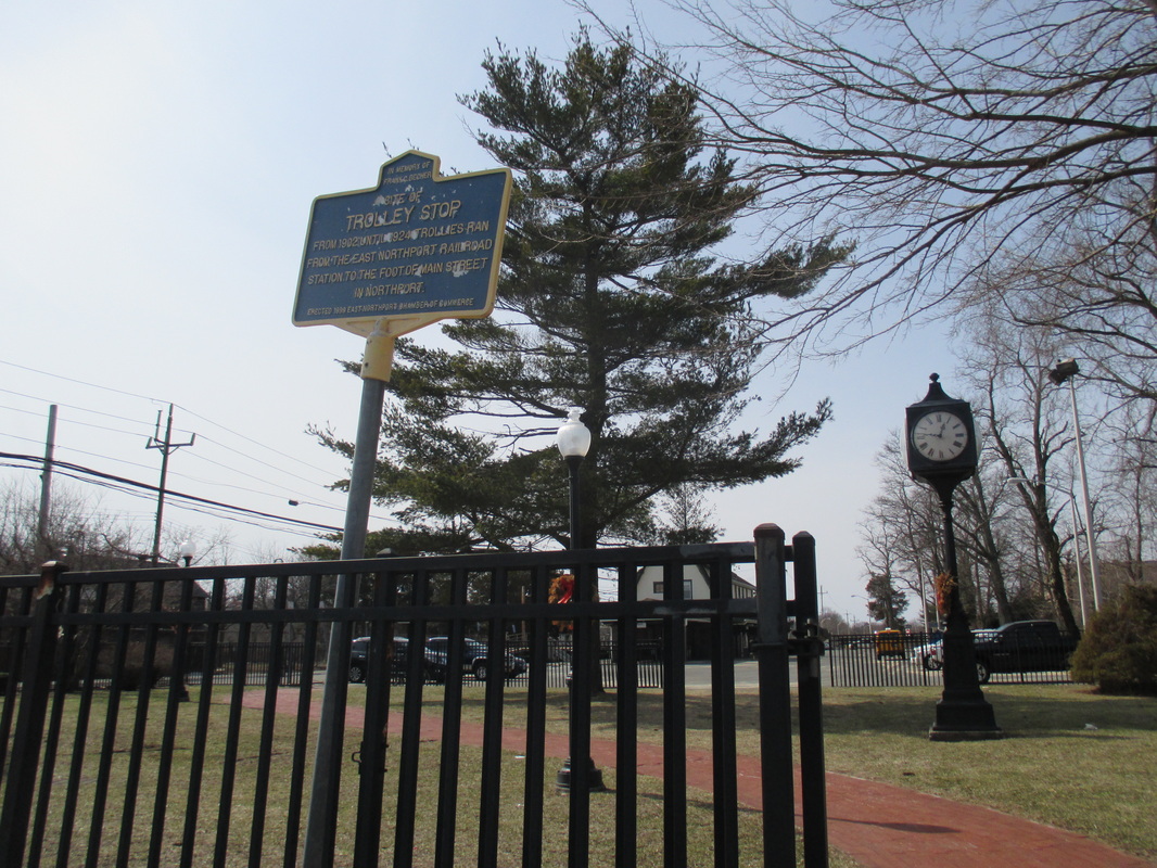
The Trolley Stop in East Northport.
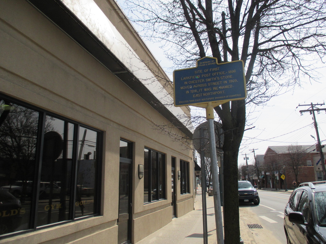
Site of the First Larkfield Post Office.
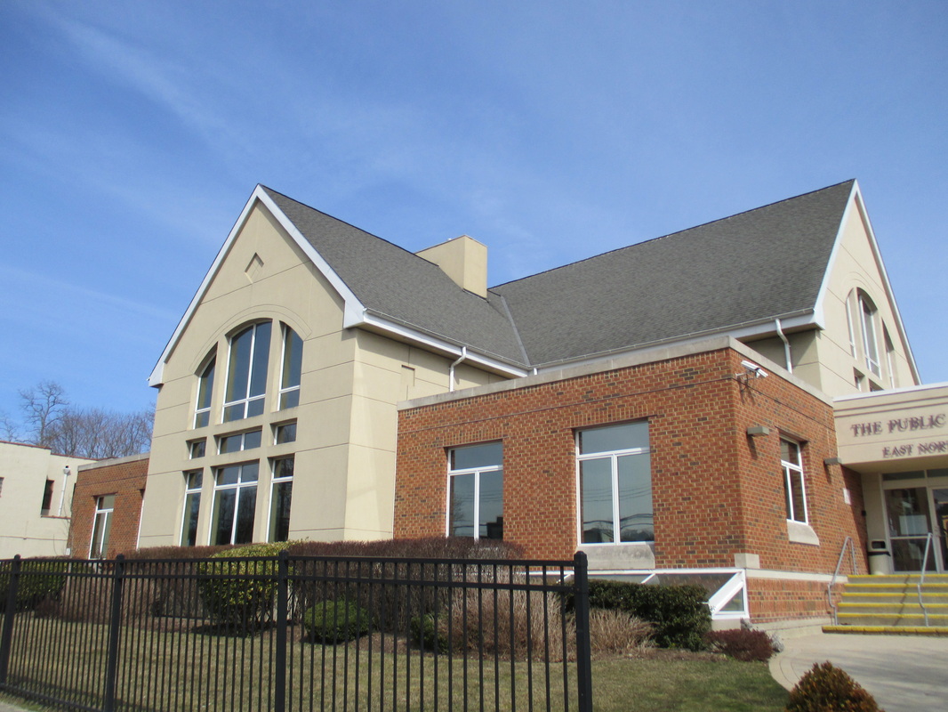
The East Northport Library.
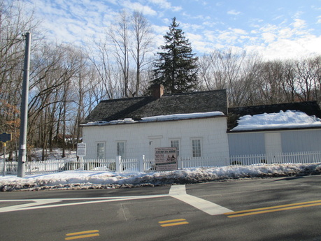
Suydam House.
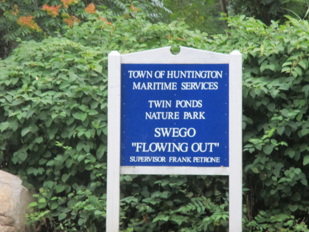
Site of Swego.
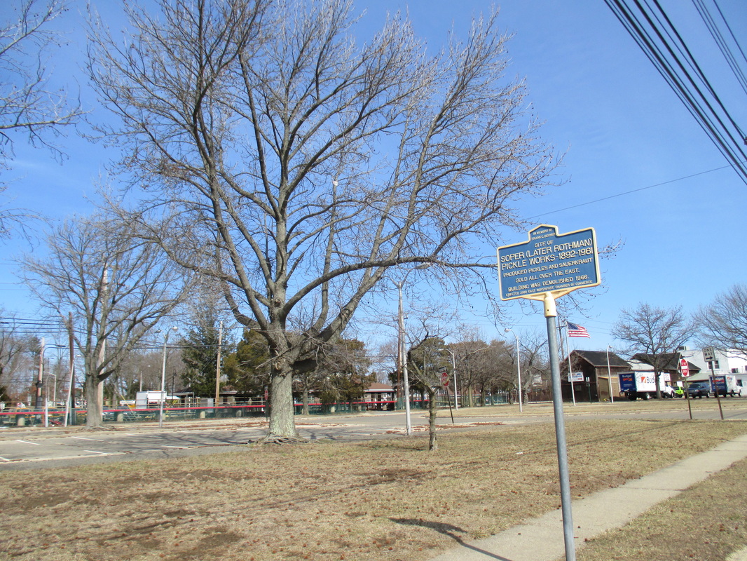
Soper-Rothman Pickle Works.
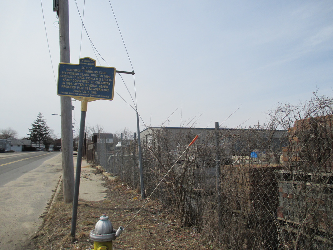
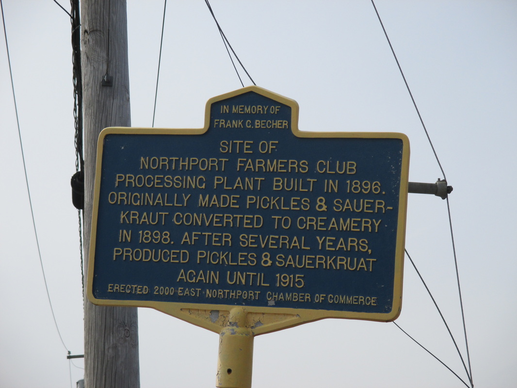
Site of Northport Farmers Club.
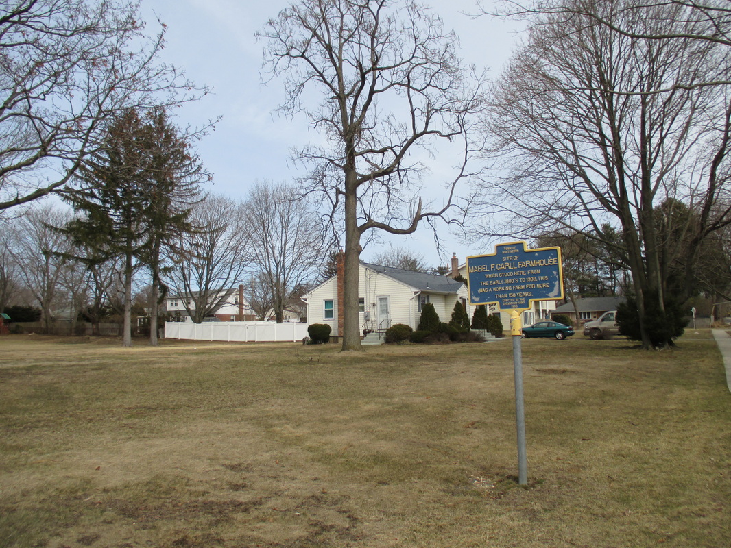
The site where the Mabel F. Carll Farmhouse once stood.
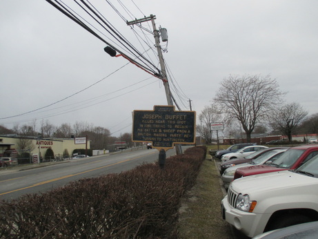
Joseph Buffet murder site in Northport.
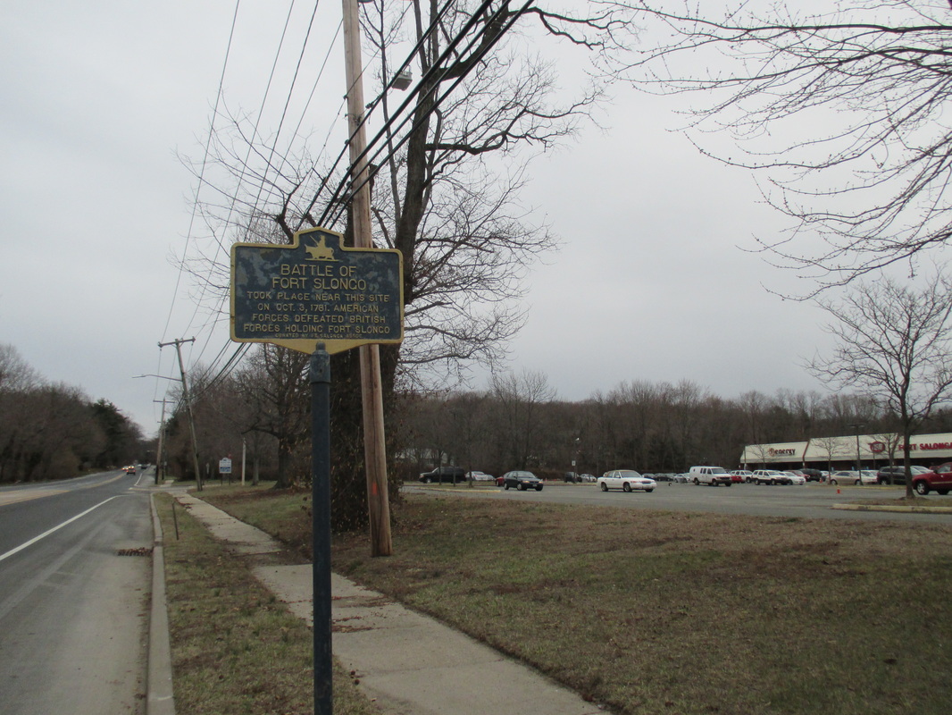
Site of Battle of Fort Slongo.
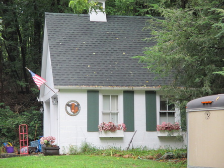
Site of The Osterby House.
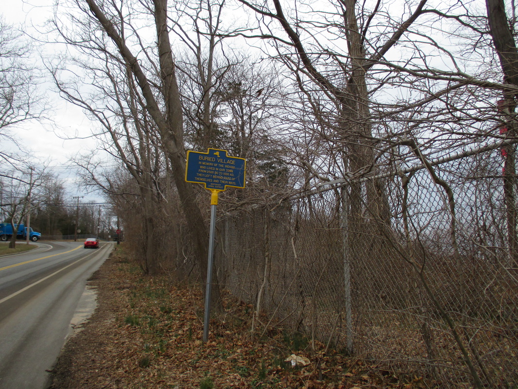
Site of the Buried Village.
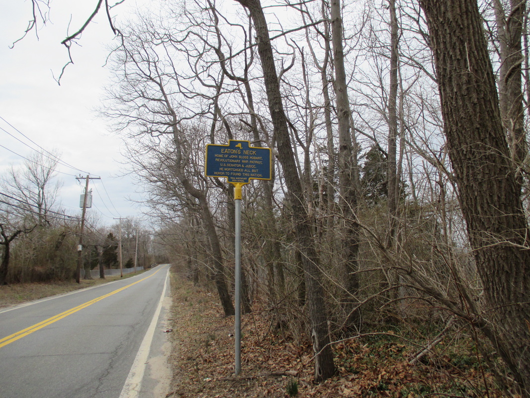
Eaton's Neck.
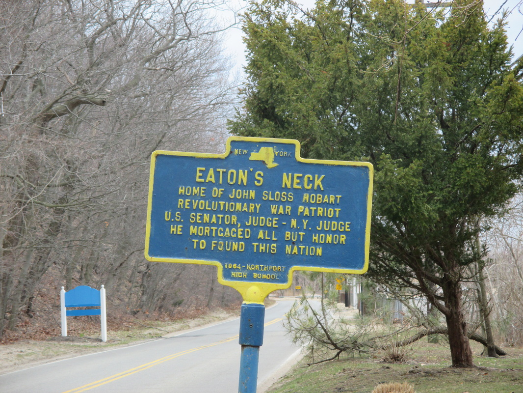
" EATON'S NECK"Home of John Sloss Hobart. Revolutionary War Patriot, U.S. Senator & Judge. He Mortgaged all but Honor to Found This Nation.
1964 Northport High School.
LOCATION: 43 Asharoken Ave, Northport.
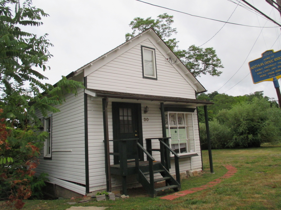
Home of Arthur Dove,
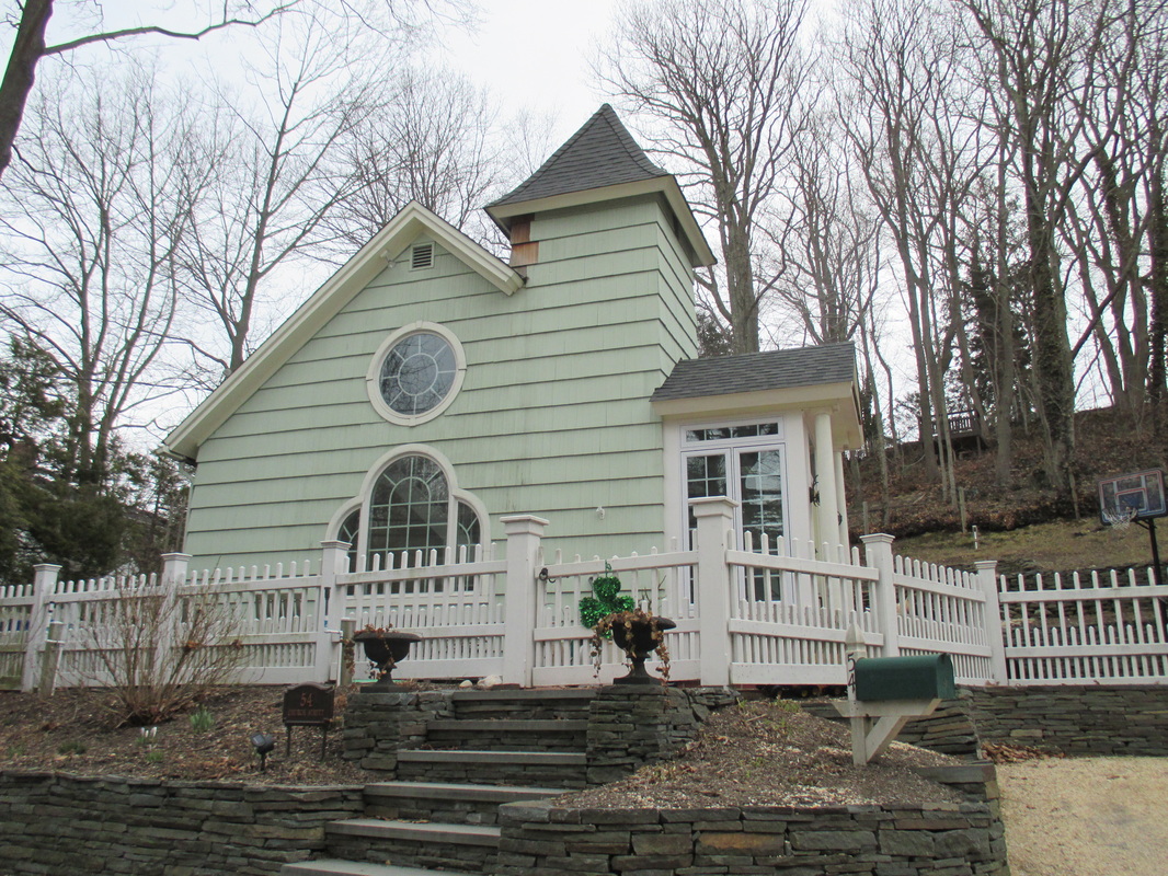
Site of the Allen AME Church.
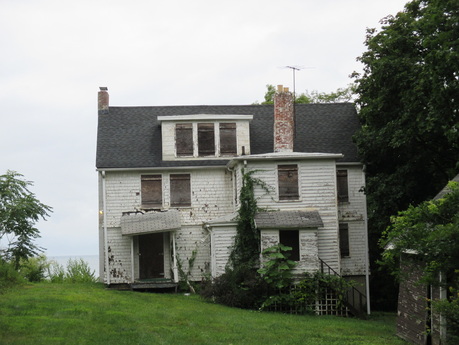
The Summer Home of Booker T. Washington,
|
|
"BAITING PLACE PURCHASE" Northern boundary of the land purchased from the Massapequa Indians in 1698.
Bicentennial Commission 1977.
LISTED LOCATION: S.W. Corner Route 110 and Old Country Road, Huntington.
"BETHPAGE PURCHASE" Northeast corner of the Bethpage purchased by Thomas Powell from the
Massapequa Indians in 1695. LISTED LOCATION: 100 Feet West of Sweet Hollow Road on Old Counrty Road, Huntington (West Hills area).
"CLAY PITTS ROAD" Entire area east of the sign once called "pits" for reich clay deposits used by Indians and Settlers for bowls,
pottery, & bricks. Road also called "Water Street" for river which once ran here. Later called "Avery Road" for early local farmer.
Erected 1999 East Northport Chamber of Commerce.
LISTED LOCATION: N.S. Clay Pitts and East of Larkfield Road, East Northport.
"COLD SPRING HARBOR HISTORIC DISTRICT" A 19th Cent. Whaling Port.
Preservation Comm. 1976
LISTED LOCATION: 500 Feet east of the N.E. corner of Goosehill Road and Route 25A, Cold Spring Harbor.
"COLD SPRING HARBOR HISTORIC DISTRICT" A 19th Cent. Whaling Port.
Preservation Comm. 1976
LISTED LOCATION: East side of Harbor Road, 1000 feet south of Lawrence HIll Road, Cold Spring Harbor.
"DOLL FACTORY-1911 TO 1915 ( Site of)" Northport Novelty Co. employed many artisans. During WW I, surveillance balloon
were made here; later airplane parts, rubber tires and clothing. Building demolished in 1966.
Erected 2000 East Northport Chamber of Commerce
LISTED LOCATION: N.S. 10th Ave,east of 3rd Street, East Northport.
'FORT FRANKLIN" Visited by the Prince of Whales. Later George IV in 1782. Named for Tory N J Gov. natural son of Ben Franklin.
LISTED LOCATION: Lloyd Harbor Road & Fort Hill Drive.
"HOME OF JOHN WHITMAN" Built in 1692, now a barn. "New" house built in 1810, home of Jesse Whitman grandfather of
Walt Whitman.
Erected 1992
LISTED LOCATION: 69 Chichester Road, Huntington (West HIlls area).
"INTERNATIONAL BOUNDARY" Of New Netherlands and the New England Confederation by the Treaty of Hartford 1650-1664.
Bicentennial Comm. 1976
LISTED LOCATION: Round Swamp Road & Old Country Road .
"LONG ISLAND MOTOR PARKWAY" First concrete limited access highway built by W.K. Vanderbilt. A Pardington
engineer 1908-1910.
Erected 1973.
LISTED LOCATION: 55 Vanderbilt Parkway, Commack.
"OLD COUNTRY ROAD" Samuel Ketcham's Hollow southern boundary of the First Purchase from the Matinecock Indians in 1653.
Bicentennial Commission 1976.
LISTED LOCATION: Northwest corner of Main Street and Irwin, Huntington.
"OLD NORTHPORT CEMETERY" Burial site of 2nd Lt. Henry Scudder (1743-1822) "a brave and honest man." Gov. Clintonin 1788.
Erected 1989.
LISTED LOCATION: Route 25A, Northport.
"ONE ROOM SCHOOLHOUSE (Site Of)" A private school circa 1807 thru 1873. This area was then known as "Claypitts." Residents
purchased shares in the school.
Erected !999 East Northporrt Chamber of Commerce.
LISTED LOCATION: 1000 Feet North of Rail Road Tracks, East Northport.
"SITE OF GRIST MILL" Powered by this stream and built for Rev. Wm. Leverich 1658.
Erected 1965.
LISTED LOCATION: Route 110 and Mill Lane, Huntington.
'SITE OF SWEET HOLLOW SCHOOL" "Given by Samuel Nostrand in 1779 for the purpose of building a schoolhouse"
Historian's Office 1986.
LISTED LOCATION: Sweet Hollow Road, 1000 Feet North of Old Country Road, Huntington, (West Hills area).
SUFFOLK COUNTRY" Organized Nov. 1, 1683. One of the original Counties of the Province of New York. Originally East
Riding Of Yorkshire.
LISTED LOCATION: NYS 25 at Nassau-Suffolk Line.
"TOWN OF HUNTINGTON" First Purchase 1653. First School Teacher 1657. Gov. Nicolls patent 1666. Gov. Donogan
patent 1688. First church building 1665.
LISTED LOCATION: NYS 25A , Fort Salonga.
"U.S. CUSTOM HOUSE 1848-1879" Jacob C. Hewlett, Surveyor. "To enroll, license vessels employed in Coasting Trade and
Whale Fisheries.
Bicentennial Comm. 1976.
LISTED LOCATION: West side of Harbor Road, 1000 Feet north of Lawrence Hill Road.
"TOWN OF HUNTINGTON" First Purchase 1653. First School teacher1657. Gov. Nicolls patent 1666. Gov. Donogan patent
1688. First church building 1665.
LISTED LOCATION:NYS ROUTE 110, south of Ruland Road.
"JAYNE'S HILL" Also knownas High Hill and Oakley Hill, 400.9 Feet above Sea Level. HIghest point on Long Island.
LISTED LOCATION: End of Reservoir Road.
"SILAS WOOD" Long Island Historian. Born here Sept. 1769. N.Y. assemblyman, 1795 U.S. Congress, 1817-27.
LISTED LOCATION: N.E. corner of Hartman Hill Road and Chichester Road, Dix Hills.
"INTERNATIONAL BOUNDARY" Of New Netherlands and the New England Confederation by the Treaty
of Hartford 1650-1665.
Bicentennial Comm. 1976
LISTED LOCATION: Manetto HIll Road, 200 feet east of County Line.
"TOWN OF HUNTINGTON" First Purchase 1653. First School teacher 1657. Gov. Nicolls patent 1666. Gov. Donogan patent
1688. First church building 1665.
LISTED LOCATION: NYS 25A West of Lawrence Hill Road.
"PORT OF COLD SPRING": District of New York Last U.S. Custom House circa 1890-1913, Rueben Hall, Surveyor.
Bicentennial Comm. 1975.
LISTED LOCATION: 500 feet North of Route 25A on Shore Road, Cold Spring Harbor
Bicentennial Commission 1977.
LISTED LOCATION: S.W. Corner Route 110 and Old Country Road, Huntington.
"BETHPAGE PURCHASE" Northeast corner of the Bethpage purchased by Thomas Powell from the
Massapequa Indians in 1695. LISTED LOCATION: 100 Feet West of Sweet Hollow Road on Old Counrty Road, Huntington (West Hills area).
"CLAY PITTS ROAD" Entire area east of the sign once called "pits" for reich clay deposits used by Indians and Settlers for bowls,
pottery, & bricks. Road also called "Water Street" for river which once ran here. Later called "Avery Road" for early local farmer.
Erected 1999 East Northport Chamber of Commerce.
LISTED LOCATION: N.S. Clay Pitts and East of Larkfield Road, East Northport.
"COLD SPRING HARBOR HISTORIC DISTRICT" A 19th Cent. Whaling Port.
Preservation Comm. 1976
LISTED LOCATION: 500 Feet east of the N.E. corner of Goosehill Road and Route 25A, Cold Spring Harbor.
"COLD SPRING HARBOR HISTORIC DISTRICT" A 19th Cent. Whaling Port.
Preservation Comm. 1976
LISTED LOCATION: East side of Harbor Road, 1000 feet south of Lawrence HIll Road, Cold Spring Harbor.
"DOLL FACTORY-1911 TO 1915 ( Site of)" Northport Novelty Co. employed many artisans. During WW I, surveillance balloon
were made here; later airplane parts, rubber tires and clothing. Building demolished in 1966.
Erected 2000 East Northport Chamber of Commerce
LISTED LOCATION: N.S. 10th Ave,east of 3rd Street, East Northport.
'FORT FRANKLIN" Visited by the Prince of Whales. Later George IV in 1782. Named for Tory N J Gov. natural son of Ben Franklin.
LISTED LOCATION: Lloyd Harbor Road & Fort Hill Drive.
"HOME OF JOHN WHITMAN" Built in 1692, now a barn. "New" house built in 1810, home of Jesse Whitman grandfather of
Walt Whitman.
Erected 1992
LISTED LOCATION: 69 Chichester Road, Huntington (West HIlls area).
"INTERNATIONAL BOUNDARY" Of New Netherlands and the New England Confederation by the Treaty of Hartford 1650-1664.
Bicentennial Comm. 1976
LISTED LOCATION: Round Swamp Road & Old Country Road .
"LONG ISLAND MOTOR PARKWAY" First concrete limited access highway built by W.K. Vanderbilt. A Pardington
engineer 1908-1910.
Erected 1973.
LISTED LOCATION: 55 Vanderbilt Parkway, Commack.
"OLD COUNTRY ROAD" Samuel Ketcham's Hollow southern boundary of the First Purchase from the Matinecock Indians in 1653.
Bicentennial Commission 1976.
LISTED LOCATION: Northwest corner of Main Street and Irwin, Huntington.
"OLD NORTHPORT CEMETERY" Burial site of 2nd Lt. Henry Scudder (1743-1822) "a brave and honest man." Gov. Clintonin 1788.
Erected 1989.
LISTED LOCATION: Route 25A, Northport.
"ONE ROOM SCHOOLHOUSE (Site Of)" A private school circa 1807 thru 1873. This area was then known as "Claypitts." Residents
purchased shares in the school.
Erected !999 East Northporrt Chamber of Commerce.
LISTED LOCATION: 1000 Feet North of Rail Road Tracks, East Northport.
"SITE OF GRIST MILL" Powered by this stream and built for Rev. Wm. Leverich 1658.
Erected 1965.
LISTED LOCATION: Route 110 and Mill Lane, Huntington.
'SITE OF SWEET HOLLOW SCHOOL" "Given by Samuel Nostrand in 1779 for the purpose of building a schoolhouse"
Historian's Office 1986.
LISTED LOCATION: Sweet Hollow Road, 1000 Feet North of Old Country Road, Huntington, (West Hills area).
SUFFOLK COUNTRY" Organized Nov. 1, 1683. One of the original Counties of the Province of New York. Originally East
Riding Of Yorkshire.
LISTED LOCATION: NYS 25 at Nassau-Suffolk Line.
"TOWN OF HUNTINGTON" First Purchase 1653. First School Teacher 1657. Gov. Nicolls patent 1666. Gov. Donogan
patent 1688. First church building 1665.
LISTED LOCATION: NYS 25A , Fort Salonga.
"U.S. CUSTOM HOUSE 1848-1879" Jacob C. Hewlett, Surveyor. "To enroll, license vessels employed in Coasting Trade and
Whale Fisheries.
Bicentennial Comm. 1976.
LISTED LOCATION: West side of Harbor Road, 1000 Feet north of Lawrence Hill Road.
"TOWN OF HUNTINGTON" First Purchase 1653. First School teacher1657. Gov. Nicolls patent 1666. Gov. Donogan patent
1688. First church building 1665.
LISTED LOCATION:NYS ROUTE 110, south of Ruland Road.
"JAYNE'S HILL" Also knownas High Hill and Oakley Hill, 400.9 Feet above Sea Level. HIghest point on Long Island.
LISTED LOCATION: End of Reservoir Road.
"SILAS WOOD" Long Island Historian. Born here Sept. 1769. N.Y. assemblyman, 1795 U.S. Congress, 1817-27.
LISTED LOCATION: N.E. corner of Hartman Hill Road and Chichester Road, Dix Hills.
"INTERNATIONAL BOUNDARY" Of New Netherlands and the New England Confederation by the Treaty
of Hartford 1650-1665.
Bicentennial Comm. 1976
LISTED LOCATION: Manetto HIll Road, 200 feet east of County Line.
"TOWN OF HUNTINGTON" First Purchase 1653. First School teacher 1657. Gov. Nicolls patent 1666. Gov. Donogan patent
1688. First church building 1665.
LISTED LOCATION: NYS 25A West of Lawrence Hill Road.
"PORT OF COLD SPRING": District of New York Last U.S. Custom House circa 1890-1913, Rueben Hall, Surveyor.
Bicentennial Comm. 1975.
LISTED LOCATION: 500 feet North of Route 25A on Shore Road, Cold Spring Harbor